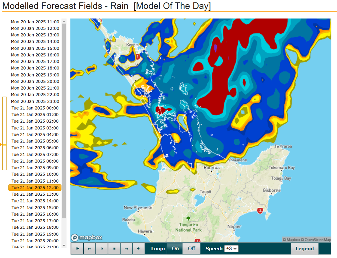
Orange heavy rain warning for the Coromandel
Published on 20 January 2025

Update: 1:20pm Tuesday 20 January
 Rain continues to be moderate to heavy across the Coromandel Peninsula and appears to be worsening. Minor surface flooding has been observed along drains, which is expected in these conditions. A lightning and thunderstorm cell is currently moving across our district.
In Whangamatā, power outages have reduced to 70 properties as of 1:00pm with restoration efforts ongoing.
No significant road issues have been reported, but drivers should remain cautious and watch for surface flooding and debris.
Rainfall at the Pinnacles is on track to reach 100 mm by the end of the day. Heavy falls have also been detected near Port Charles on the rain radar.
Take care everyone if you're out and about today. MetService has extended the Heavy Rain Warning - Orange for the Coromandel Peninsula for Tuesday 21 January from 8:00am to 1:00am Wednesday 22 January.
We're expecting 80 to 110 mm of rain, with peak rainfall of 15 to 25 mm/h due to arrive later this morning and early afternoon, along with possible thunderstorms.
If you’re camping in the Coromandel, check if you’re in a potential flood zone (ask a local or your campground manager) and be prepared to move quickly at short notice.
What to expect:
- Streams and rivers may rise rapidly.
- Surface flooding and slips possible.
- Difficult driving conditions.
Remember to:
- Clear your drains and gutters before the rain arrives.
- Tie down outside furniture and play equipment, or move it to a sheltered spot.
- Drive with extra care, and avoid low-lying areas and travelling after dark.
- Keep an eye on weather updates.
Stay up to date
Council road updates will be published on our website and Facebook page. Check NZTA Waka Kotahi's journey planner for State Highway information, and MetService for the latest weather updates.